2012 / in progress. LAND 1.
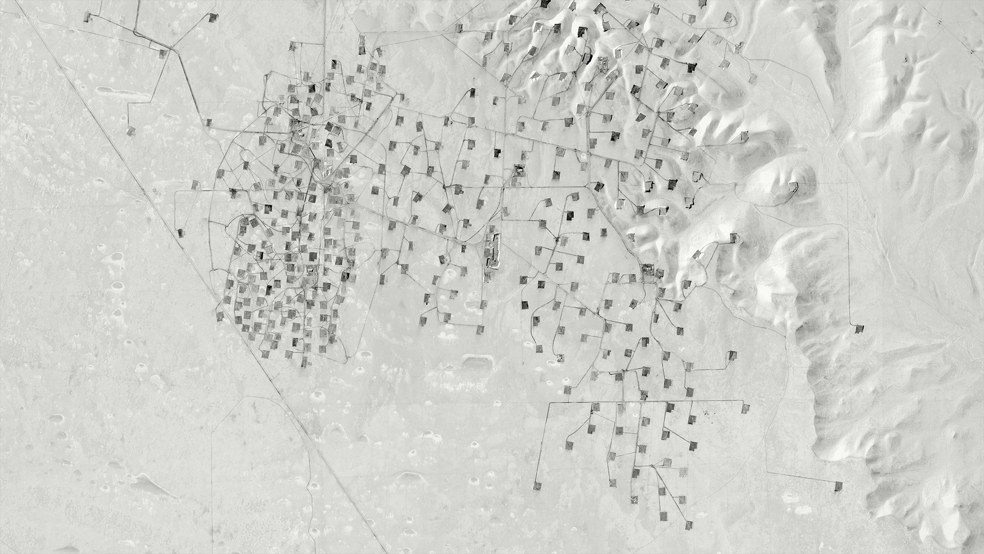
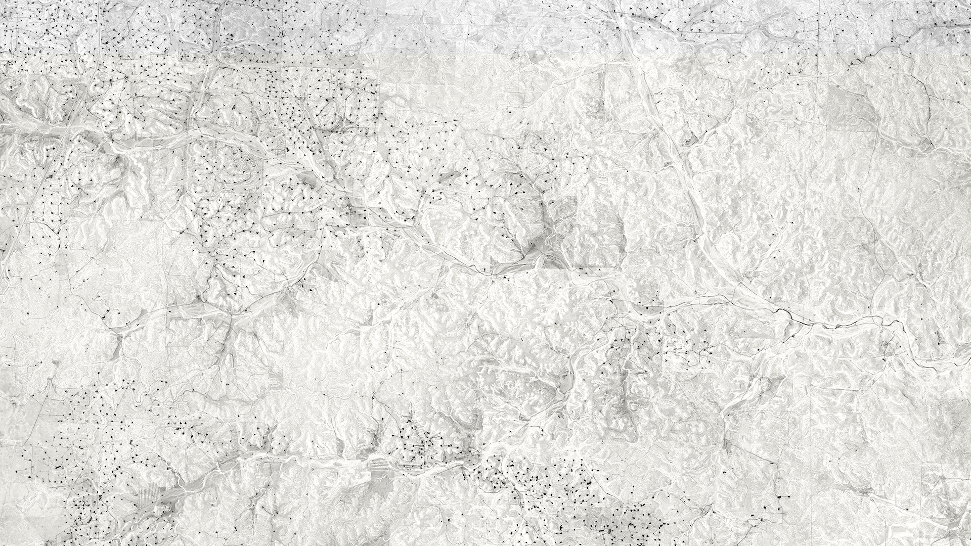
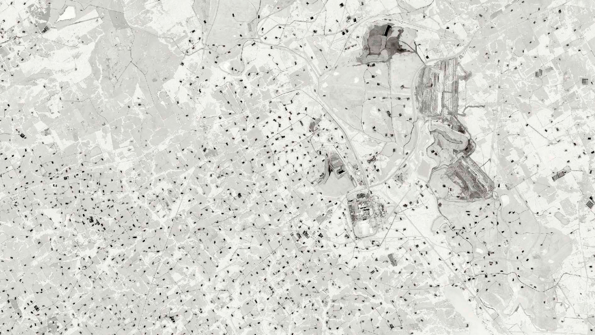
Land es un proyecto fotográfico que tiene como objetivo hacer visible la cartografía de zonas de extracción de recursos minerales y naturales y sus desechos, revelando la evolución histórica del paisaje, la construcción política del territorio y nuestra identidad geopolítica.
Las imágenes que componen el proyecto fueron construidas con mapas tomados de google earth, impresos en gran tamaño y definición, son cartografías satelitales que revelan topografías de campos de extracción.
Me interesa el resultado distópico en el que se convierten (travisten) las utopías de la modernidad. Estos mapas parecen enfrentarnos a esta alteridad: la deformidad social y económica, el desastre ambiental, las definiciones territoriales equívocas y el futuro incierto de nuestro planeta.
Ficha técnica
Marcela Magno. Land. 2012 / in progress. Inkjet sobre papel Hahnemühle baryta o Canson baryta. Tamaños variables.
Land is a photographic project that aims to make visible the cartography of areas of extraction of mineral and natural resources and their waste, revealing the historical evolution of the landscape, the political construction of the territory and our geopolitical identity.
The images that make up the project were constructed with maps taken from google earth, printed in large size and definition, they are satellite cartographies that reveal topographies of extraction fields.
I am interested in the dystopian result in which the utopias of modernity become. These maps seem to confront us with this otherness: social and economic deformity, environmental disaster, equivocal territorial definitions and the uncertain future of our planet.
Data sheet
Marcela Magno. Land. 2012 / in progress. Inkjet on Hahnemühle baryta or Canson baryta paper. Variable sizes.

38º4’8.34″S | 67º49’16.56″O | 14 Ene 2012 | Printed on Canson Baryta | Print max size: 160 por 68cm.

37º55’31.22″S | 67º48’30.04″O | 17 Sep 2013 | Printed on Canson Baryta | Print max size: 195 por 250 cm.
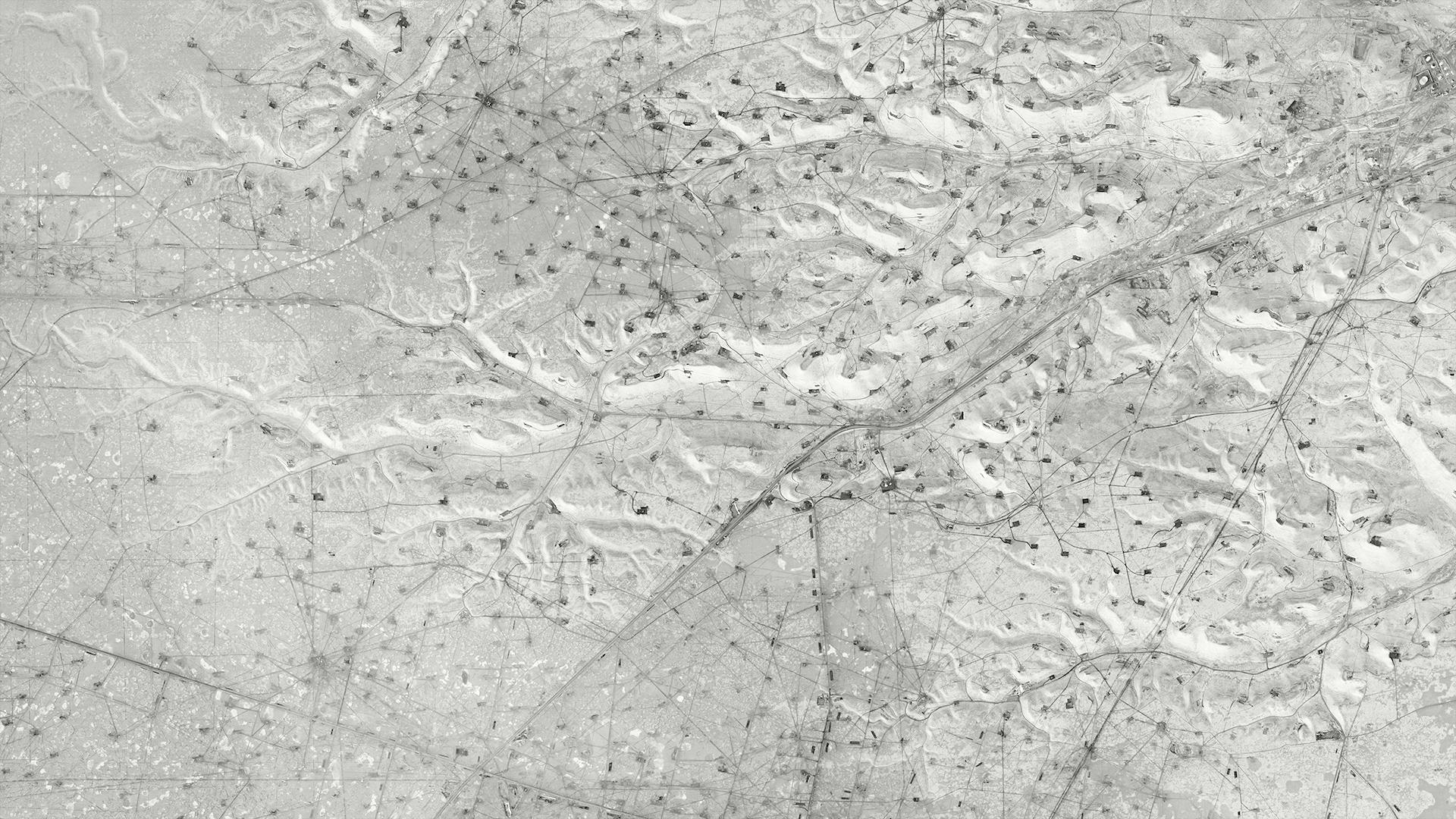
45º45’22.84″S | 67º41’7.01″O 17 Oct 2013 | Printed on Canson Baryta | Print max size: 200 por 130cm. *

Oil. 45º52’5.13″S | 67 52’5.29″O | 17 Oct 2013 | Printed on Canson Baryta | 2014 | Print max size: 330 por 230 cm. *

45º45’22.84″S | 67º41’7.01″O | 17 Oct 2013 | Printed on Canson Baryta | Print max size: 200 por 130cm. *
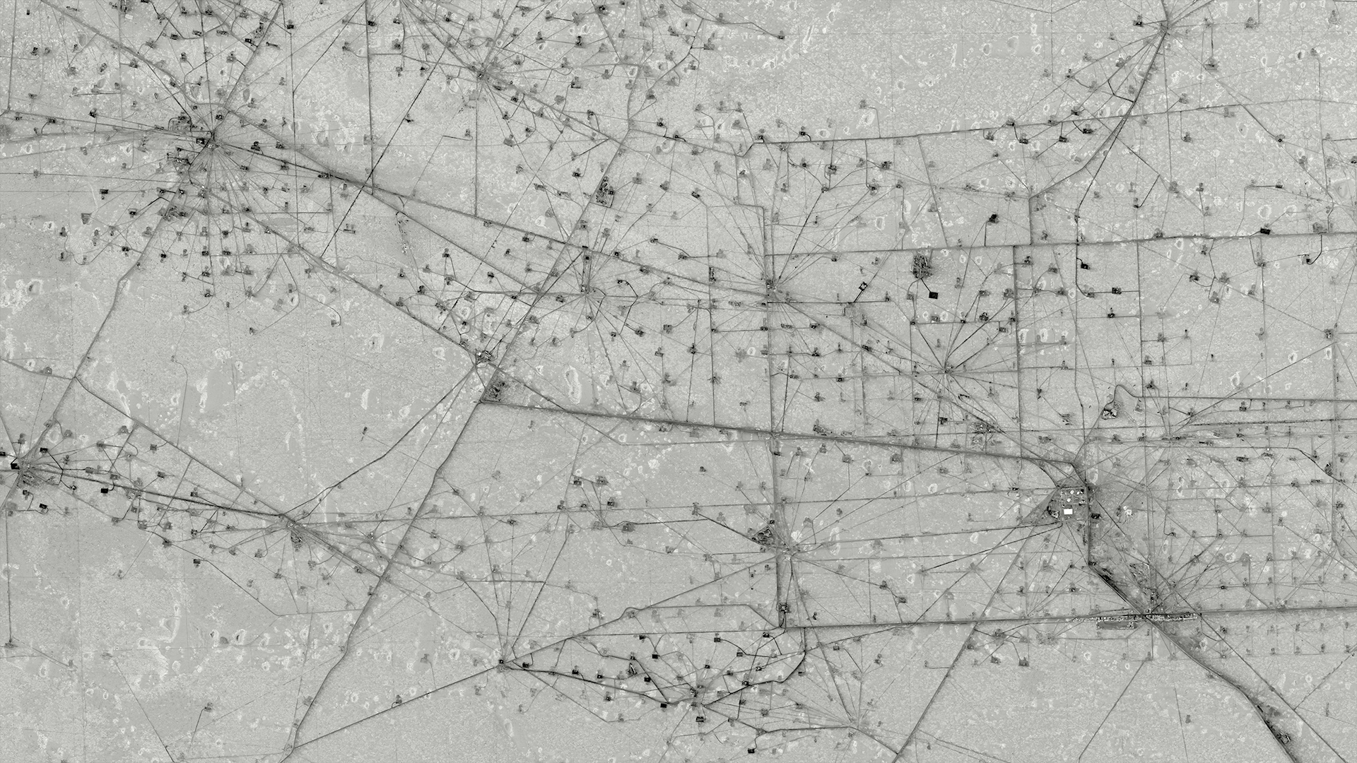
46º37’38.01″S | 67º55’35.03″O | 9 Mar 2009 | Printed on Canson Baryta | Print max size: 270 por 250 cm. *

22º9’54.06″S | 63º36’29.45″O | 1 Sep 2011 | Printed on Canson Baryta | Print max size: 225 por 154 cm. *
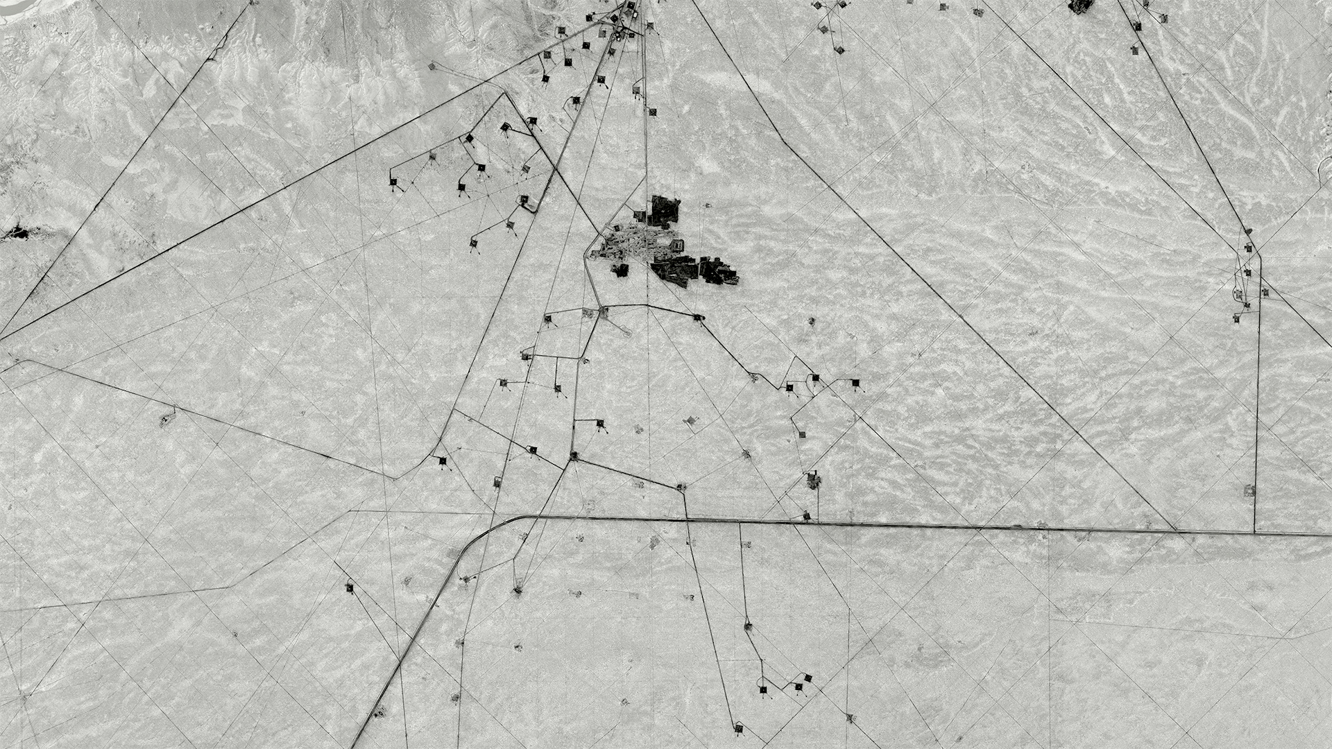
38° 1’0.59″S | 67°41’43.01″O | 17 Sep 2013 | Printed on Canson Baryta | Print max size: 195 por 250 cm. Printed on Canson Baryta | Print max size: 195 por 250 cm. *G

45º47’13.47″S | 68º3’45.55″O | 30 dic 2005 | 2013 | Printed on Canson Baryta |Print max size: 105 por 135
cm. *G

38°10’9.89″S | 68°7’40.52″O | 28 Sep 2006 | 2013 | Printed on Canson Baryta | Print max size: 160 por 195 cm.

37°18’48.32″S | 68°55’51.80″O | 18 Sep 2013 | Printed on Canson Baryta | Print max size: 110 por 90 cm. *G

37°19’17.61″S | 69° 4’31.93″O | 7 Sep 2010 | 2013 | Printed on Canson Baryta | Print max size: 220 por 130 cm. *G
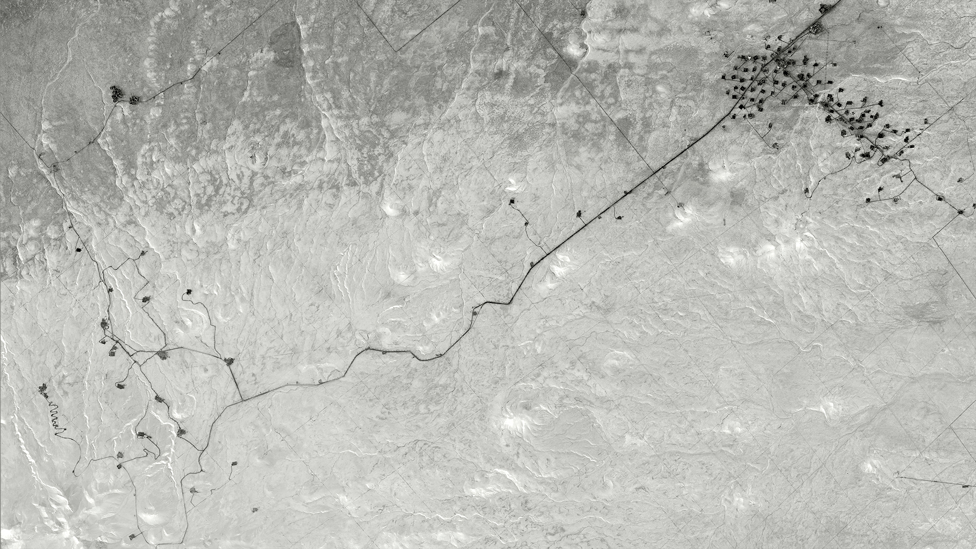
37°39’6.08″S | 68°48’40.73″O | 7 Sep 2010 | Printed on Canson Baryta | Print max size: 270 por 250 cm.

33°10’18.78″S | 68°46’8.18″O | 4 Sep 2004 | Printed on Canson Baryta | Print max size: 220 por 110 cm


